


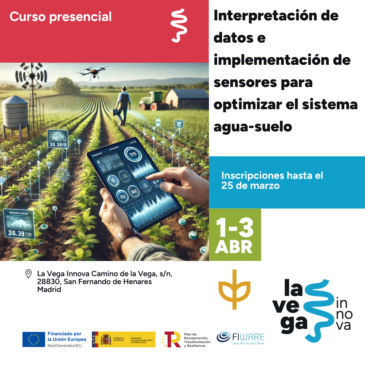
In-person course
Dates and times
From April 1 to 3 , 2025
Schedule:
- Tuesdays from 10:00 a.m. to 1:30 p.m. and from 3:00 p.m. to 7:00 p.m.
- Wednesdays 9:00 a.m. to 1:30 p.m. and 3:00 p.m. to 7:00 p.m.
- Thursdays from 9:00 a.m. to 2:00 p.m.
Registration will be open until March 25, 2025.
Free training.
More information on our website .
Remote sensing techniques have been used since the early 1980s, although their use has not yet gained widespread interest among farmers and technicians. Advances in recent years with the launch of new Earth observation programs, both public and private, as well as the shift in the processing and analysis of acquired scenes from local environments to cloud services, have sparked interest in and applications for these technologies.
In this course, participants will learn how to use cloud computing services for remote sensing, managing large volumes of unstructured data in the form of satellite scenes, to characterize spatiotemporal heterogeneity at the plot scale in extensive crops using time series of vegetation indices.